Drone Services
-
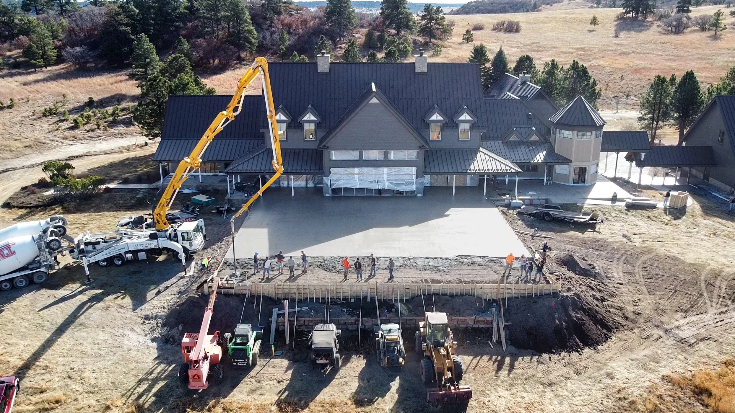
Construction Progress Photos & Videos
Track your job site with sharp, consistent aerial imagery. Perfect for documentation, stakeholder updates, and subcontractor coordination.
✔️ Weekly/Monthly flyovers
✔️ Timeline visuals and media for reporting
✔️ Safe access to hard-to-reach areas -
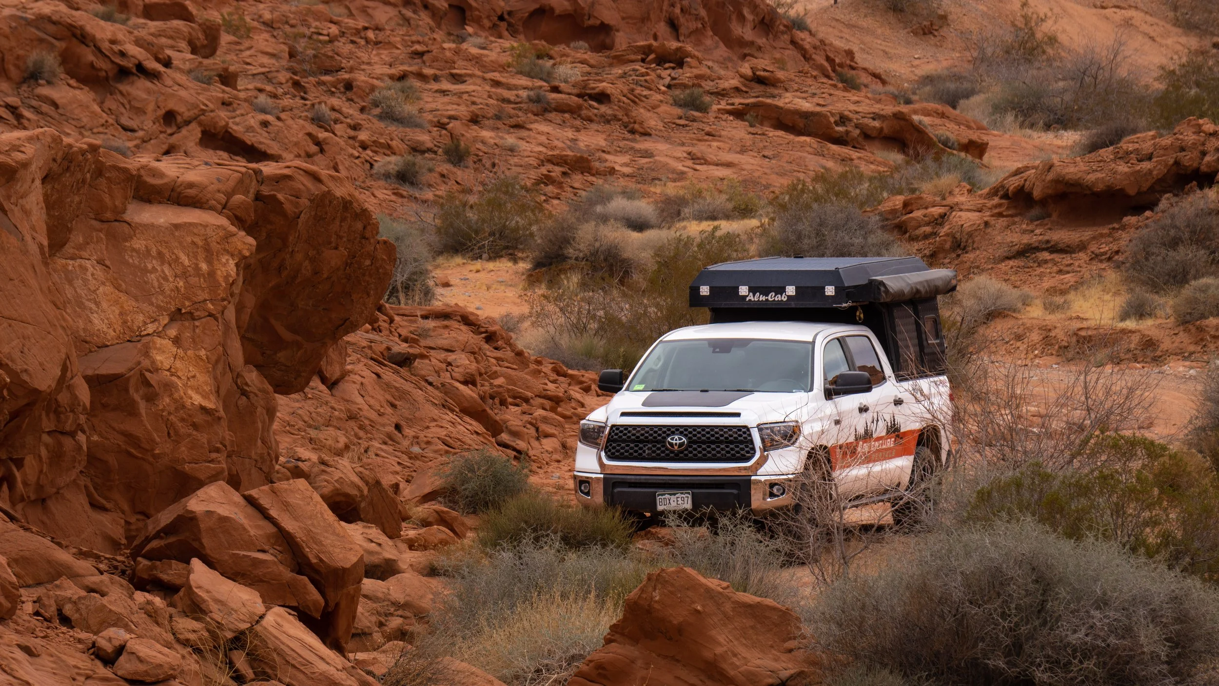
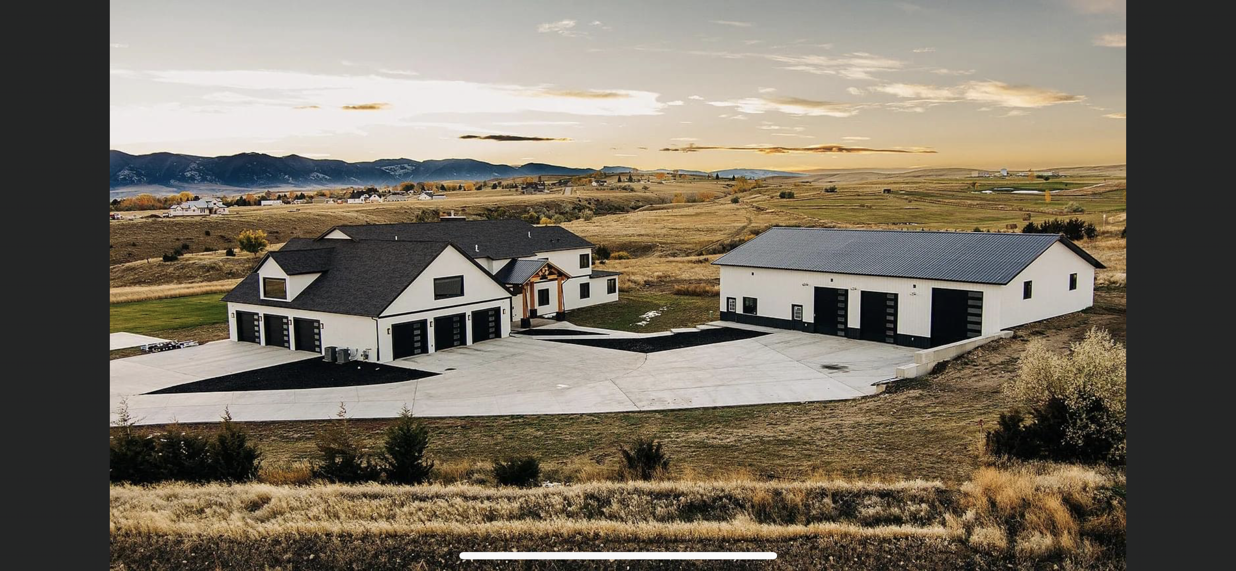
Commercial Marketing & Branding
Add cinematic aerial content to your marketing strategy—stand out with eye-catching footage from above.
✔️ Promo videos, reels, and social clips
✔️ Drone photography for web and print
✔️ Ideal for brands, events, and tourism -
Roof & Structural Inspections
Safely inspect rooftops, building exteriors, and towers—without ladders or lifts.
✔️ High-resolution top-down and angled shots
✔️ Thermal inspections available (if equipped)
✔️ Ideal for insurance, damage assessments, and roofing contractors -
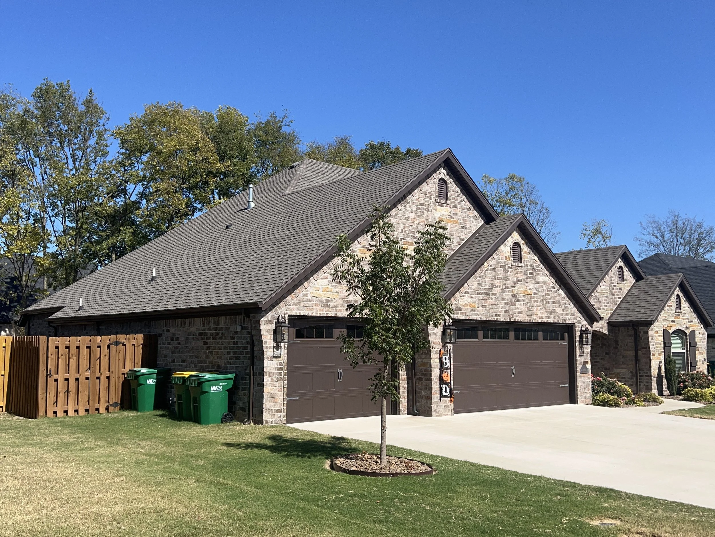
Real Estate Aerial Media
Showcase residential or commercial listings with dynamic aerial views and smooth cinematic flyovers.
✔️ Drone photography & videography
✔️ MLS-ready packages
✔️ Add-on: walkthrough video, interior shots -

Events & Race Coverage
Capture the excitement from above with dynamic aerial footage that brings your event or race to life. Ideal for promotions, livestreams, and post-event recaps.
✔️ Real-time aerial coverage for events and races
✔️ Cinematic 4K video and highlight reels
✔️ Smooth tracking shots of participants in action -
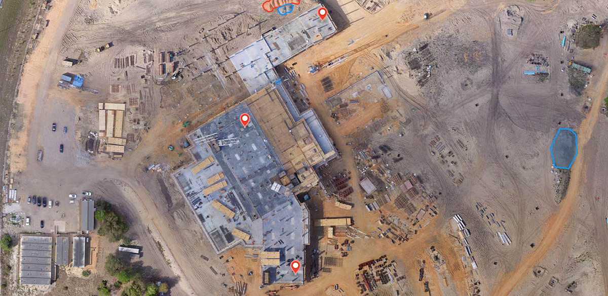
3D Mapping & Photogrametry
Transform your site into detailed, data-rich 2D and 3D models with our advanced drone mapping services. Gain faster insights, improve decision-making, and reduce costly site visits with accurate aerial data—delivered quickly and safely.
✔️ High-Resolution Orthomosaic Maps & 3D Models – Capture every inch of your site in precise detail for planning, surveying, and analysis.
✔️ Actionable Data for Smarter Decisions – Perform volume calculations, contour mapping, and site measurements with confidence and accuracy.
✔️ Faster Turnaround, Lower Cost – Get comprehensive site data in hours instead of days—no need for ground crews or expensive equipment.
✔️ Safe Access to Difficult Terrain – Survey hard-to-reach or hazardous areas without putting boots on the ground.Perfect for construction, land development, agriculture, mining, and environmental monitoring.
Your site. Your data. Delivered smarter, safer, and faster.