
Full Service Arial Videography & Photography Serving Northwest Arkansas
At Complete Drone Imaging, we believe every property, project, or adventure deserves to be captured from its best angle. Whether you need a single aerial photo, a full cinematic video, or regular site updates, we tailor each project to fit your vision.What we do
-
Arial Videography
Drone or mixed aerial + ground footage, edited into polished promos.
-
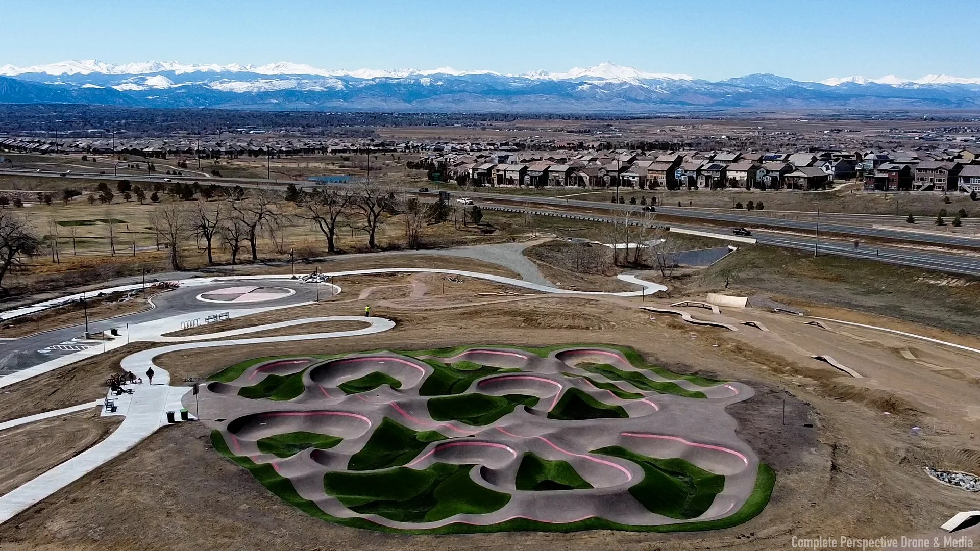
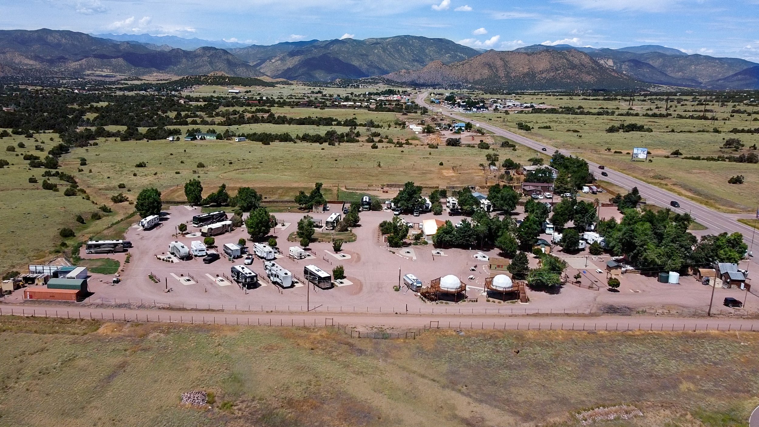
Arial Photography
High-resolution aerial stills for listings, land surveys, and marketing.
-
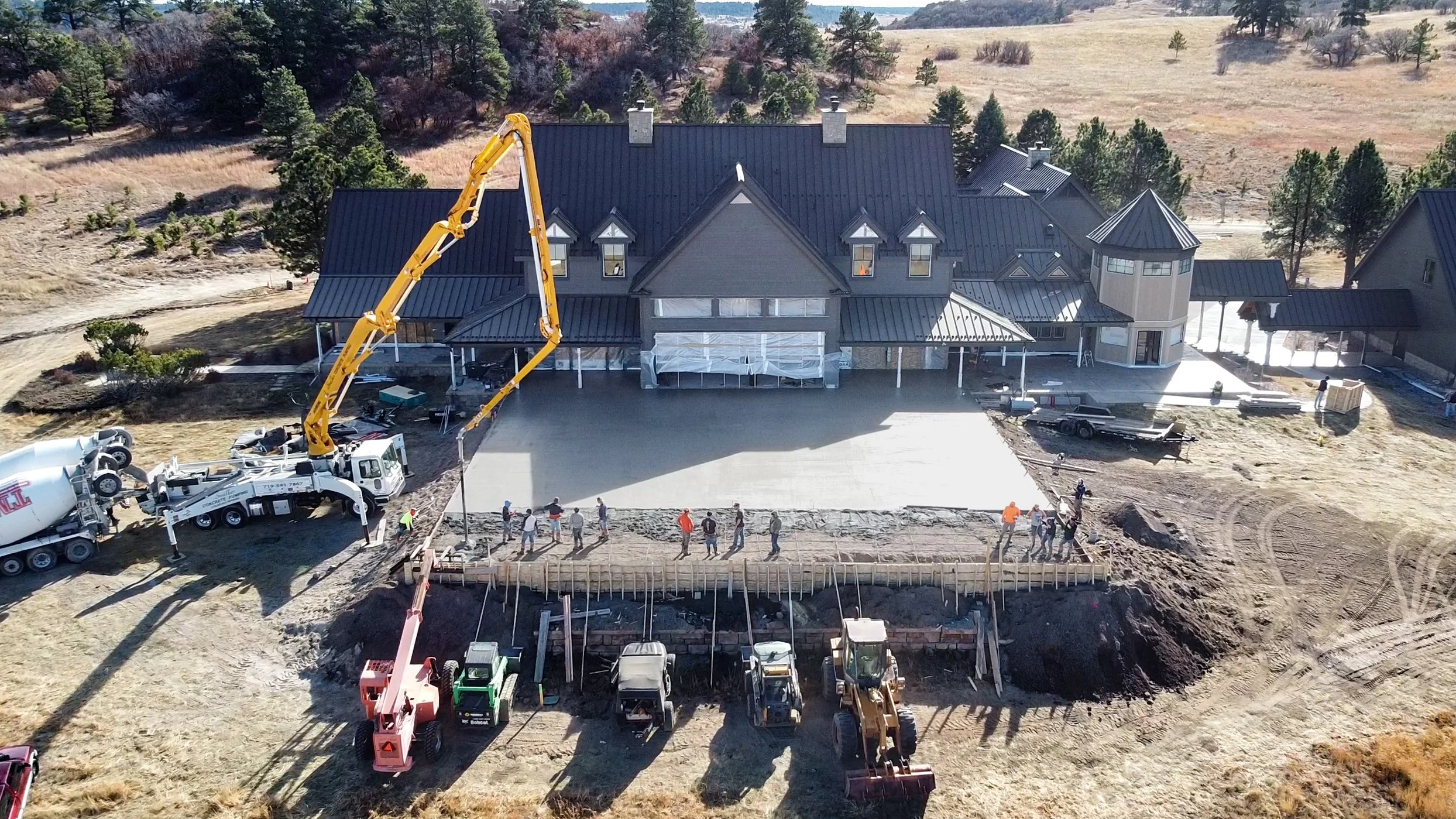
Progress & Monitoring
Regular fly-overs and updates for construction, renovation, or land development
Photography Services


Why choose us
FAA Part 107 Certified Pilot — Licensed and insured for safe, professional flights.
10+ Years of business Service Experience I understand value, trust, and care, I treat your project like I’d treat my own.
Fast Turnaround & Reliable Delivery —Quick edits, clean footage, no hassle.
Local & Mobile — Born & Raised in Northwest Arkansas — I travel to your site when you need.